Utica Play Map
Utica Horizontal Production
Summary
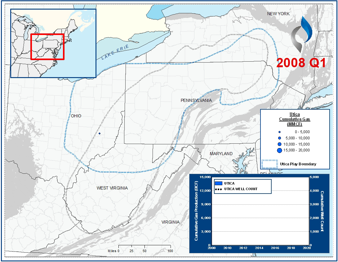
The graphic above presents all Utica / Point Pleasant horizontal wells completed in the Appalachian Basin since 2008.
Relative to the Utica, the Point Pleasant generally has more favorable reservoir characteristics for shale development (e.g., higher TOC and brittleness).
Development of these intervals has been heavily concentrated in Ohio. The play is characterized by dry gas production in the eastern part of the state, and increasingly “oily” production moving west.
When present, the Utica / Point Pleasant is encountered below the Marcellus Shale. To date, the Marcellus has been approximately four times as active as the Utica (on the basis of horizontal well count and cumulative gas production).
Methodology Overview
VSO sourced landing bench and production data from IHS to prepare these maps.
Reservoir & Geologic Studies
VSO has completed extensive analysis of well performance and productivity throughout the Appalachian Basin. Additional reservoir and geologic capabilities include:
Assessment of Development Potential and Risks
Type Well Analysis
Evaluation of Well Performance and Interference
Midstream/Supply Studies
Audits/Evaluations of Producing Assets
Key Cross-Sections
Reservoir Quality Maps – Porosity, TOC, OOIP
Upside development Reservoir Quantity Maps – Gross and Net Isopachs
Pressure Trends
Maturity & GOR Impacts