Eagle Ford Play Map
Eagle Ford Horizontal Production
Summary
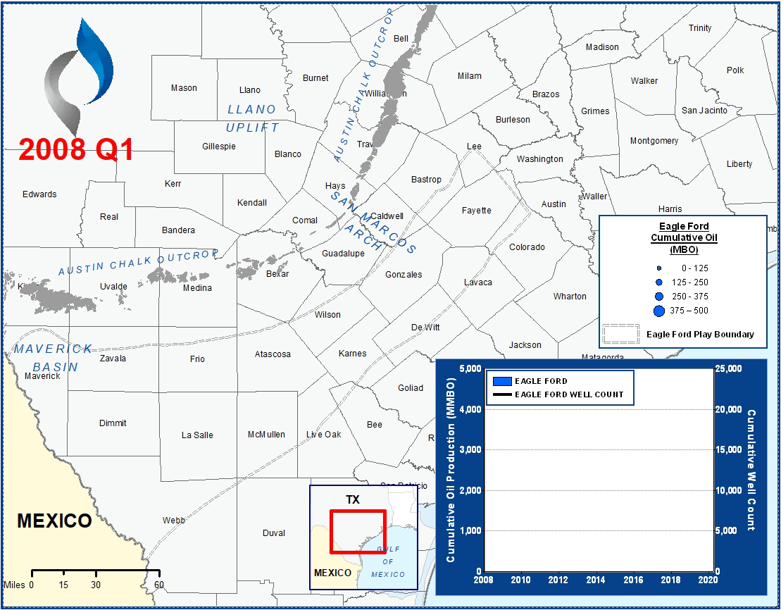
The graphic above presents all Eagle Ford horizontal wells completed in the Eagle Ford Play since 2008.
The formation takes its name after the town of Eagle Ford, Texas, where it outcrops at the surface. At approximately 50 miles wide, the Eagle Ford extends from the Texas-Mexico border 400 miles east where it meets the East Texas Basin.
The Upper Eagle Ford is most prominent in the Maverick Basin, reaching a max thickness of ~450’. However, the Upper Eagle Ford quickly thins moving east and pinches out at the San Marcos Arch. The Lower Eagle Ford largely retains its thickness across the play, experiencing thickness “hot spots” in the Maverick Basin, Karnes county, and near Burleson in the East Texas Basin.
Methodology Overview
VSO sourced landing bench and production data from IHS to prepare these maps.
Reservoir & Geologic Studies
VSO has completed extensive analysis of well performance and productivity throughout the Eagle Ford Play. Additional reservoir and geologic capabilities include:
Assessment of Development Potential and Risks
Type Well Analysis
Evaluation of Well Performance and Interference
Midstream/Supply Studies
Audits/Evaluations of Producing Assets
Key Cross-Sections
Reservoir Quality Maps – Porosity, TOC, OOIP
Upside development Reservoir Quantity Maps – Gross and Net Isopachs
Pressure Trends
Maturity & GOR Impacts